Warning: file_exists(): open_basedir restriction in effect. File(/var/www/vhosts/ataunturisl10n.phpa.eus/httpdocs/wp-content/languages/wpml/admin_texts_cptui_taxonomies-fr_FR.l10n.php) is not within the allowed path(s): (/var/www/vhosts/ataunturismoa.eus/:/tmp/) in /var/www/vhosts/ataunturismoa.eus/httpdocs/wp-content/plugins/wpml-string-translation/classes/MO/Hooks/LoadTextDomain.php on line 173

Warning: file_exists(): open_basedir restriction in effect. File(/var/www/vhosts/ataunturisl10n.phpa.eus/httpdocs/wp-content/languages/wpml/admin_texts_wpseo_titles-fr_FR.l10n.php) is not within the allowed path(s): (/var/www/vhosts/ataunturismoa.eus/:/tmp/) in /var/www/vhosts/ataunturismoa.eus/httpdocs/wp-content/plugins/wpml-string-translation/classes/MO/Hooks/LoadTextDomain.php on line 173

Warning: file_exists(): open_basedir restriction in effect. File(/var/www/vhosts/ataunturisl10n.phpa.eus/httpdocs/wp-content/languages/wpml/wpml-fr_FR.l10n.php) is not within the allowed path(s): (/var/www/vhosts/ataunturismoa.eus/:/tmp/) in /var/www/vhosts/ataunturismoa.eus/httpdocs/wp-content/plugins/wpml-string-translation/classes/MO/Hooks/LoadTextDomain.php on line 173
Agaramunda - Ataun Turismoa

PARCOURS

PARCOURS PÉDESTRES

Agaramunda

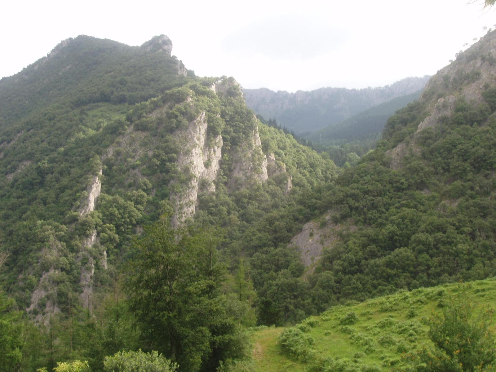
Parcours facile et agréable pouvant aisément être réalisé en deux heures. Il relie les quartiers d’Ataun San Gregorio, Aia et Ergoiena. Une bonne partie de l’itinéraire emprunte le GR, à travers bois. Il permet également de découvrir des lieux d’une grande importance mythologique.

Hauteur min.: 178 m.
Hauteur max.: 519 m.
Dénivelé: 370 m. 378 m.
Distance: 7,12 km.
Temps: 2 h.
Difficulté: facile

AUTRES PARCOURS PÉDESTRES

To top